Being Neighbourly travels to SSP, a working class area associated with elderly residents and immigrants.
Author/
Being Neighbourly
Share
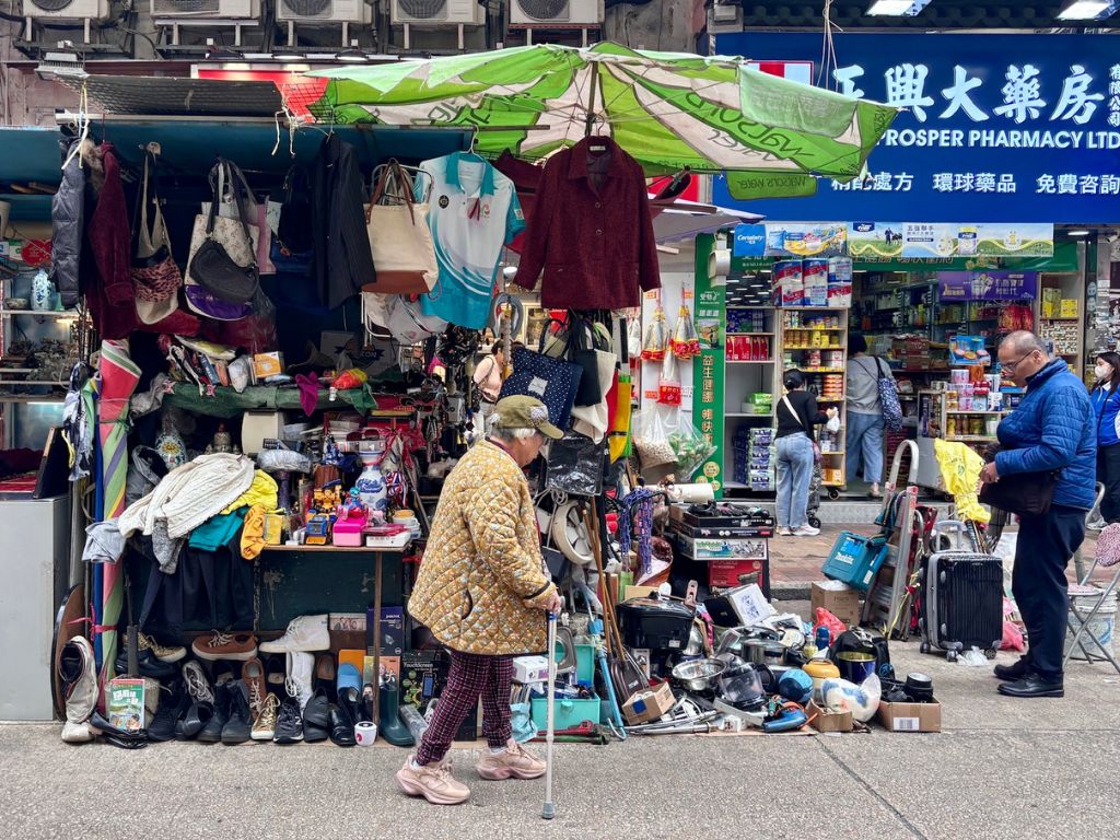
An elderly resident takes a stroll along a market.
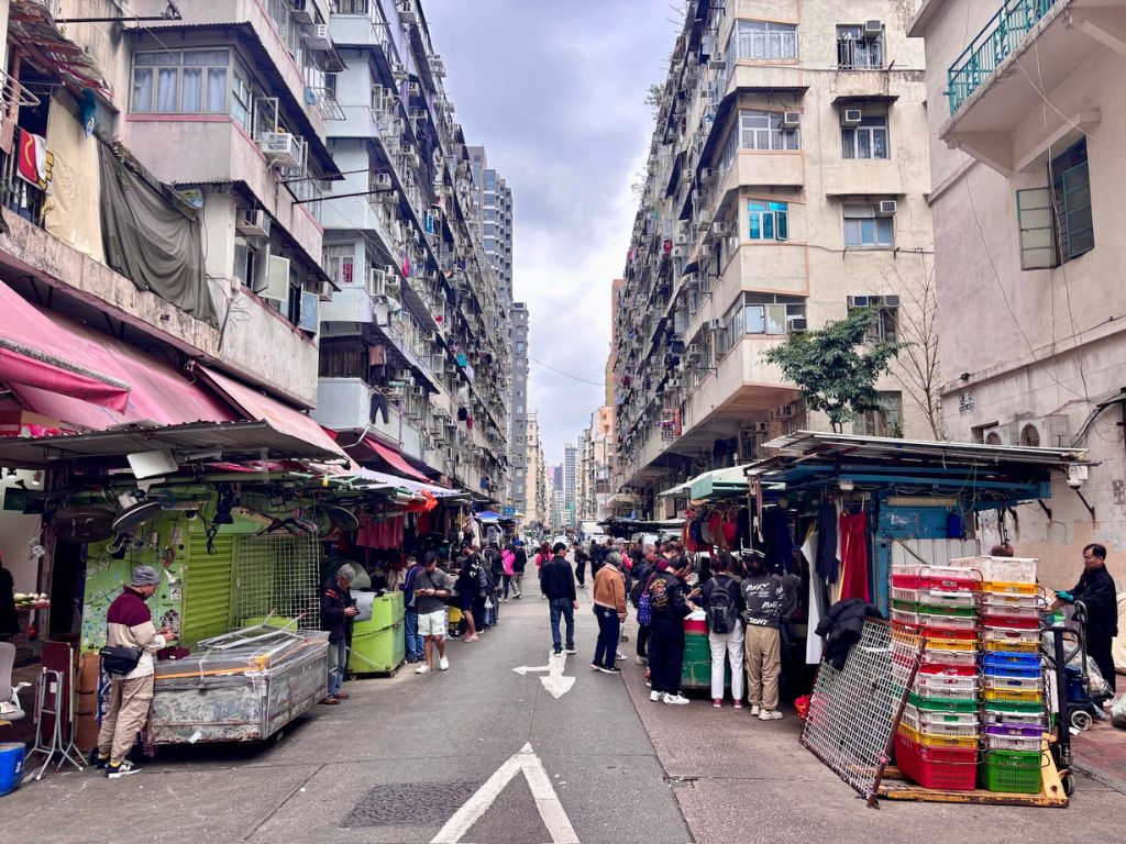
Sham Shui Po is the second poorest district by income in Hong Kong, with a mostly working-class population and the lowest median household income of all districts. It has the highest percentage of elderly people over 65 years. The percentage of new immigrants is also very high and living conditions in the district remain a social issue. The district hosted a Vietnamese refugee camp during the influx of migration in the aftermath of the Vietnam War in the 1970s.
Land Area 9.48 km2
Population* 431,100
*2021 figures
Biggest Neighbourhood Sham Shui Po
Shek Kip Mei
Shek Kip Mei, originally known as Shek Kap Mei, is an area to the northeast of the Kowloon Peninsula of Hong Kong. In history books, it is written about due to the Christmas Day fire in 1953, which destroyed the Shek Kip Mei shanty town, displacing 53,000 residents—immigrants from Mainland China who had fled to Hong Kong.
Cheung Sha Wan
Cheung Sha Wan ‘Long Sandy Bay’ is mainly a residential area to the north and south, with an industrial area in between. But, it was once, as its Cantonese name suggests, a bay with a long sandy beach. Back then, it was a gathering spot for Tanka fishermen before the area underwent development. The most recent development involved the extension of the area close to Stonecutters Island. The shipbuilding and repair industries, previously located along the old shoreline, were relocated near the island, and their former sites were replaced by private housing estates in the early 2000s.
Lai Chi Kok
Lai Chi Kok is a neighbourhood east of Kwai Chung and west of Cheung Sha Wan. Mei Foo Sun Chuen is the largest housing estate there and the largest in Hong Kong with 99 blocks. ‘Lai Chi Kok’, means ‘lychee corner,’ but some historians suggest its original name was Lai Tsai Kuok, meaning, ‘the footprint of the youngest son.’
Kowloon Tsai
Kowloon Tsai was formerly a village in a valley, which has now been developed into a low-density and upscale residential area in New Kowloon.
So Uk
So Uk is an area in the north of Cheung Sha Wan. It was originally a village founded and inhabited by the So clan. The area now includes the area surrounding So Uk Estate, and encompasses the Caritas Medical Centre.
Tai Wo Ping
Tai Wo Ping is a neighbourhood in the west of Kowloon, Hong Kong.
Yau Yat Chuen
Yau Yat Chuen is one of few upscale neighbourhoods in the central urban area of Kowloon, and has some of the most exclusive residential properties there. The neighbourhood is located in North Kowloon, at the foot of Beacon Hill. After the Second World War, affluent families built large detached houses in the neighbourhood. Since then, the area has been expanded. Along with the neighbouring Kowloon Tong and Beacon Hill, the area includes Stonecutter’s Island of Kowloon, a former island in Victoria Harbour, Hong Kong.
Stay posted for our Sham Shui Po insider guides coming soon.
Peter Sung is a talented photographer who was born in Hong Kong. When he’s not in the territory, Sung is travelling for work in the Mainland and beyond. His stunning colour and black and white photographs have been recognized by National Geographic and in November 2024, he was awarded the recipient of the inaugural ‘Being Neighbourly Creativity Award 2024’.
Share
About the Author
Being Neighbourly
For over 20 years, the people behind BN have been creating content on the best things in life: food, travel and inspirational people.
Ditch The Cafes
Experience a 5-star flexible workspace just 4 minutes from the MTR